Surface Water Management Resources
Surface Water Management staff use a variety of maps and data to gather information about stormwater systems and water quality in Newcastle. These resources show the location of drains, pipes, streams, and wetlands, as well as water flow and pollution sources. They help staff, property owners, and the public understand how stormwater moves through the city and how to protect local waterways.
GIS Data Portal
The City’s interactive map portal holds detailed data about storm drains, pipes, wetlands, streams, and other water‑systems in Newcastle. These resources help staff and community members see how water moves through the city, identify problem areas, and make better decisions to protect our waterways.
View the GIS Data Portal.
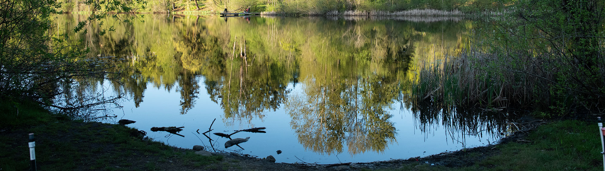
Lake Boren Water Quality
Lake Boren is an important recreational and environmental resource for the Newcastle community. The City partners with King County to collect and analyze water quality data, tracking conditions and changes in the lake over time. This information helps guide decisions to protect and improve the lake’s aquatic ecosystem and keep it healthy for people and wildlife.
View Lake Boren Water Quality Data from King County.