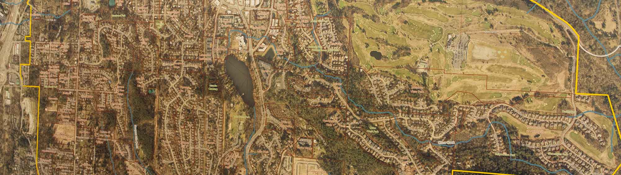
Property Resources
Staff use a variety of resources to gather information about parcels in Newcastle. These resources provide details about property boundaries, lot numbers, subdivision layouts, and natural features. They can help property owners, developers, and the public better understand the characteristics of individual parcels and the surrounding area.
King County iMap
The King County iMap offers a variety of parcel information. Users can explore different layers, including environmental and geographic features, to learn more about properties. The map legend explains the symbols used.
View the King County iMap.
King County Parcel Viewer
The King County Parcel Viewer is an interactive map for finding parcel information. Searches can be done by address, parcel number, or by zooming in and clicking on a parcel. Once a parcel is selected, the map provides direct links to the King County Assessor’s eReal Property report and the Districts and Development Conditions report.
View the King County Parcel Viewer.
Recorded Plans and Subdivision Maps
The City of Newcastle keeps electronic copies of recorded plans, including subdivision and site maps. These maps can help you see property layouts, lot numbers, and how your parcel relates to surrounding areas.
View Recorded Plans and Subdivision Maps in the Document Center.
If you are unsure of your subdivision name, King County iMap or Parcel Viewer can help you identify your lot number, which is the original identifier for your property before it was assigned an address or assessor’s parcel number.
Additional Resources
Additional resources include environmental and geographic data, such as wetlands, streams, and forestry maps. While these sources offer helpful context, they may not always reflect the most current conditions on the ground. Staff use this information as a starting point, and it can be useful for general research, planning, or understanding a property’s history.
